These utility functions can help when creating custom filters (using
with_custom()) as they can provide information about the current rendering
context.
viewport_location()

index_raster(raster, cols, rows)

get_raster_area(raster, xmin, ymin, xmax, ymax)

set_raster_area(raster, value, xmin, ymin)

get_viewport_area(raster)

set_viewport_area(raster, value)

viewport_is_clipping()

current_resolution()

to_pixels(x, y_axis = FALSE, location = FALSE)

from_pixels(x)
Arguments
- raster
A
rasterornativeRasterobject- cols, rows
Column and row indices
- xmin, ymin, xmax, ymax
Boundaries of the area in pixels. {0,0} is the top-left corner
- value
An object of the same type as
raster- x
A numeric or unit object
- y_axis
is the unit pertaining to the y-axis? Defaults to
FALSE(i.e. it is measured on the x-axis)- location
is the unit encoding a location? Defaults to
FALSE(i.e. it is encoding a dimension). Pixel locations are encoded based on a top-left starting point, as opposed to grid's bottom-left coordinate system. This means that y-axis locations will flip around when converted to pixels.
Value
Depends on the function - see details.
Details
viewport_location(): Returns the bounding box defining the current viewport in pixels in the orderxmin,ymin,xmax,ymaxindex_raster(): Is a version of the classic[,]indexing that is aware of the row-major order of rastersget_raster_area(): Extracts an area of a raster based on a bounding boxset_raster_area(): Sets an area of a raster to a new raster valueget_viewport_area(): A version ofget_raster_area()that specifically extract the area defined by the current viewportset_viewport_area(): A version ofset_raster_area()that specifically sets the area defined by the current viewportviewport_is_clipping(): ReturnsTRUEif the current viewport has clipping turned oncurrent_resolution(): Returns the resolution of the active device in ppi (pixels-per-inch)to_pixels(x): Convertsxto pixels ifxis given as a unit object. It is assumed that x encodes a dimension and not a location. Ifxis a numeric it is assumed to already be in pixelsfrom_pixels: Converts a numeric giving some pixel dimension to a unit object.
Examples
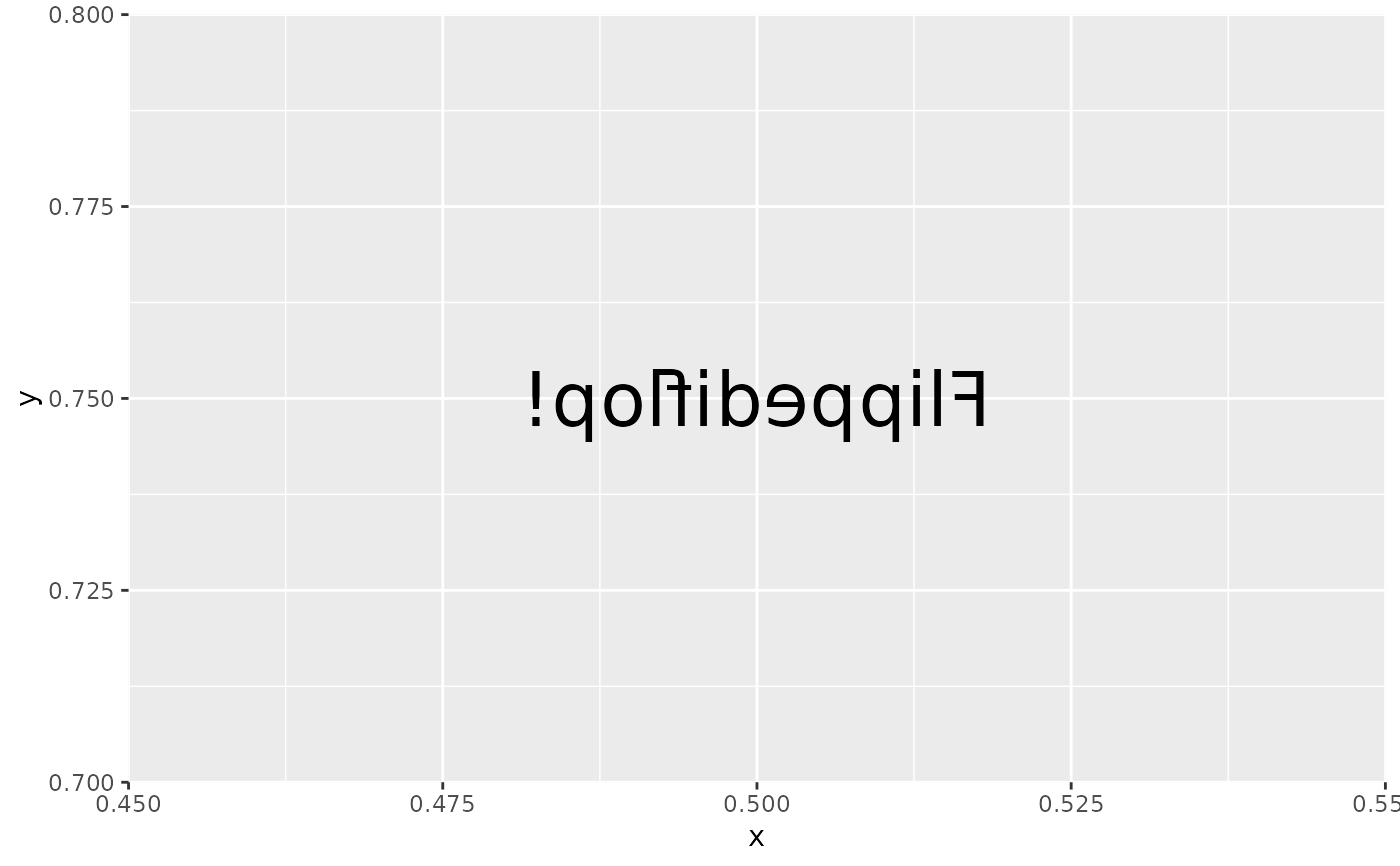
# These functions are intended to be used inside filter functions, e.g.
library(ggplot2)

flip_raster <- function(raster, horizontal = TRUE) {
  # Get the viewport area of the raster
  vp <- get_viewport_area(raster)

  # Get the columns and rows of the raster - reverse order depending on
  # the value of horizontal
  dims <- dim(vp)
  rows <- seq_len(dims[1])
  cols <- seq_len(dims[2])
  if (horizontal) {
    cols <- rev(cols)
  } else {
    rows <- rev(rows)
  }

  # change the order of columns or rows in the viewport raster
  vp <- index_raster(vp, cols, rows)

  # Assign the modified viewport back
  set_viewport_area(raster, vp)
}

ggplot() +
  with_custom(
    geom_text(aes(0.5, 0.75, label = 'Flippediflop!'), size = 10),
    filter = flip_raster,
    horizontal = TRUE
  )