This filter adds a blur to the provided ggplot layer. The amount of blur can be controlled and the result can optionally be put underneath the original layer.
with_shade(
  x,
  height_map,
  azimuth = 30,
  elevation = 30,
  strength = 10,
  sigma = 0,
  blend_type = "overlay",
  ...
)
Arguments
- x
A ggplot2 layer object, a ggplot, a grob, or a character string naming a filter
- height_map
The layer to use as a height_map. Can either be a string identifying a registered filter, or a raster object. Will by default extract the luminosity of the layer and use that as mask. To pick another channel use one of the channel specification function.
- azimuth, elevation
The location of the light source.
- strength
The strength of the shading. A numeric larger or equal to
1- sigma
The sigma used for blurring the shading before applying it. Setting it to
0turns off blurring. Using a highstrengthmay reveal artefacts in the calculated shading, especially if theheight_mapis low-detail. Adding a slight blur may remove some of those artefacts.- blend_type
A blend type as used in
with_blend()for adding the calculated shading to the layer. Should generally be left as-is- ...
Arguments to be passed on to methods. See the documentation of supported object for a description of object specific arguments.
Value
Depending on the input, either a grob, Layer, list of Layers,
guide, or element object. Assume the output can be used in the same
context as the input.
Examples
library(ggplot2)
volcano_long <- data.frame(
x = as.vector(col(volcano)),
y = as.vector(row(volcano)),
z = as.vector(volcano)
)
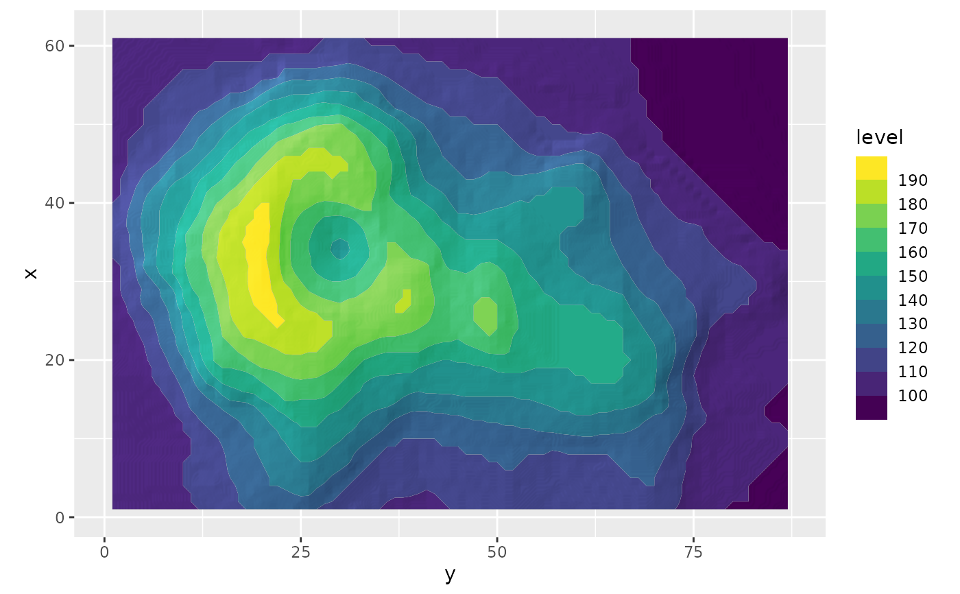
ggplot(volcano_long, aes(y, x)) +
as_reference(
geom_raster(aes(alpha = z), fill = 'black', interpolate = TRUE, show.legend = FALSE),
id = 'height_map'
) +
with_shade(
geom_contour_filled(aes(z = z, fill = after_stat(level))),
height_map = ch_alpha('height_map'),
azimuth = 150,
height = 5,
sigma = 10
) +
coord_fixed() +
guides(fill = guide_coloursteps(barheight = 10))